
𝐂𝐇𝐑𝐎𝐍𝐈𝐂𝐋𝐄𝐒 | 𝐓𝐀𝐔 𝐂𝐚𝐩𝐬 𝐎𝐟𝐟 𝐆𝐈𝐒 𝐂𝐚𝐩𝐚𝐜𝐢𝐭𝐲 𝐁𝐮𝐢𝐥𝐝𝐢𝐧𝐠 𝐰𝐢𝐭𝐡 𝐀𝐰𝐚𝐫𝐝𝐢𝐧𝐠 𝐂𝐞𝐫𝐞𝐦𝐨𝐧𝐲
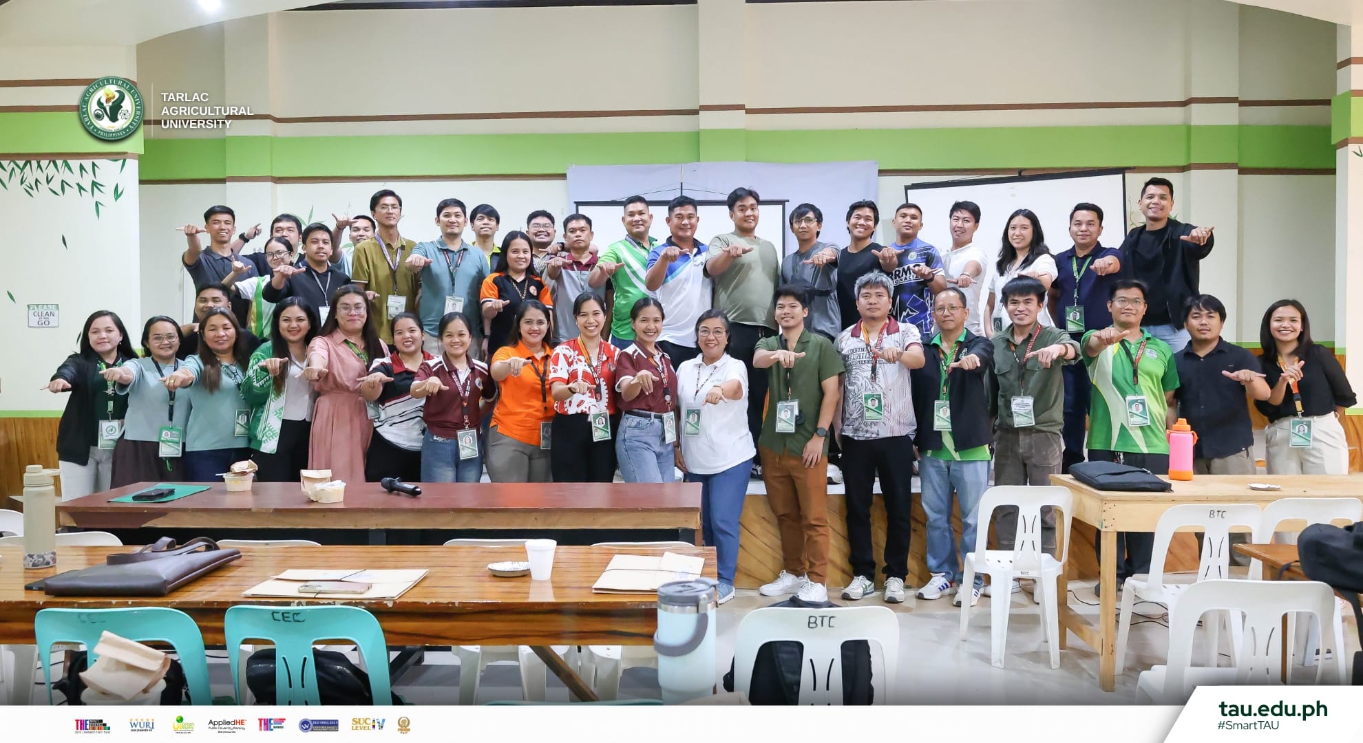
The Tarlac Agricultural University (TAU) through its National Service Training Program (NSTP), University Disaster Risk and Reduction Management Office (UDRRMO) and College of Engineering and Technology (CET), successfully concludes the Geographic Information Systems (GIS) Training: Capacity Building for University and Local Disaster Risk Reduction and Management Practitioners at the Bamboo Training Center (BTC) Function Hall, 19 March.
Participants from nearby Municipal Disaster Risk Reduction and Management Offices (MDRRMOs), the Tarlac Provincial Disaster Risk Reduction and Management Office (PDRRMO), and Department of Education (DepEd) DRRM coordinators complete the intensive training, strengthening their technical skills in GIS applications for disaster preparedness, hazard mapping, and risk assessment.
During the awarding ceremony, the participants received their certificates of completion in acknowledgment of their dedication, engagement, and newly acquired GIS competencies. The ceremony not only celebrates their accomplishments but also underscores TAU’s commitment to empowering local disaster management practitioners and advancing community resilience.
Meanwhile, University President Dr. Silverio Ramon DC. Salunson extended his message and appreciation to the completers.
“Today, we recognize not just your completion of this GIS training, but your strengthened commitment to building safer, more prepared, and more resilient communities,” Dr. Salunson stated during an interview.
Through these efforts, TAU reinforces the importance of technical expertise in building safer and better-prepared communities across Tarlac.
#SmartTAU #GreenandGlobal #GIS #NSTP #UDRRMO #SDG4 #SDG9 #SDG13 #SDG17
Text | Carmina S. Melchor [Information Unit]
Photos and Graphics | Mark Vincent L. Tripoli [Information Unit]